Beskrivelse
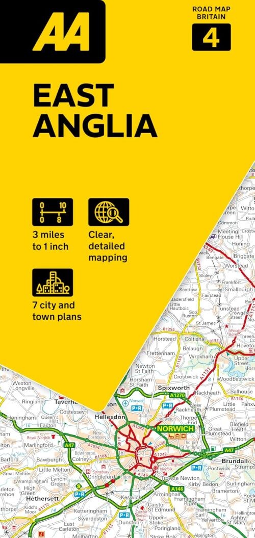
Explore East Anglia and beyond with this easy-to-use folded sheet map. Perfect for both familiar journeys and new adventures, it offers clear mapping and simple indexes to guide you straight to your destination.
A comprehensive and practical road map designed to help you navigate scenic routes, tourist spots, and essential travel information across East Anglia.
This folded map is compact enough to take with you on the go, yet unfolds into a large, flat sheet that's perfect for planning your trip indoors. It highlights wonderful scenic routes and key tourist attractions, including National Trust properties and historical sites across England, Scotland, and Wales.
You'll find detailed information on toll points, service areas, road numbers, motorways, and ferry crossings. Additional features include the National Grid, road distances, and county boundaries for easy reference.
Within nine regional maps, the top 300 AA-listed caravan and camping sites are marked, alongside scenic routes and many places worth visiting. Popular town plans are also included, offering practical details such as car parks, one-way streets, and shopping centres.
The map is presented at a scale of 1:200,000, balancing detail with broad coverage to make your travel planning straightforward and enjoyable.
Yderligere information
| Serie | Aa Road Map Britain |
|---|---|
| Kategori | Bøger |
| Genre(r) | Rejsebøger Storbritannien |
| Forlag | Collins |
| Udgivelsesdato | Er udgivet |
| Sprog | Engelsk |
| ISBN-13 | 9780749584672 |
| ISBN-10 | 074958467X |
| Indbinding | Falset |
| Udgave | 9 |
| Sidetal | 2 |
| Genveje | Aa Road Map Britain - Bøger |
| Tags | Aa Road Map Britain 4: East Anglia, Bøger, Bog |
| GPSR | Produktsikkerhed |