Beskrivelse
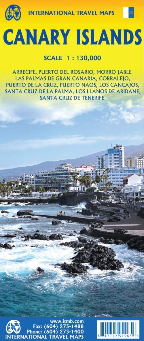
The Canary Islands, located off southern Morocco's coast, are a top winter getaway for many Europeans. This map captures the entire archipelago, showcasing its key features and travel routes.
A comprehensive and detailed travel map of the Canary Islands, perfect for exploring the region.
The Canary Islands are a major global travel hotspot, especially popular among Europeans looking to escape winter chills. While researching for this map, the abundance of German visitors was so noticeable it made us wonder who was left back home!
This map includes every island in the chain, along with the ferry routes connecting them. You'll find airports, roads, major resorts, towns, beaches, parks, hiking trails, and tourist attractions all clearly marked.
Each island is presented at the same scale with meticulous detail. Additionally, several inset maps highlight urban areas such as Santa Cruz de la Palma, Cancajos, Los Llanos de Aridane, and Puerto Naos on La Palma; Santa Cruz on Tenerife; Las Palmas on Gran Canaria; Corralejo on Fuerteventura; Arrecife on Lanzarote; plus a few smaller towns.
Designed to be user-friendly and travel-ready, this double-sided paper map is easy to read and navigate, with a scale of 1:130,000.
Yderligere information
| Serie | Gran CanariaInternational Travel MapsVandrebøger |
|---|---|
| Kategori | Bøger |
| Genre(r) | Rejsebøger Island |
| Forlag | Itmb Publishing |
| Udgivelsesdato | Er udgivet |
| Sprog | Engelsk |
| ISBN-13 | 9781771291965 |
| ISBN-10 | 1771291966 |
| Indbinding | Falset |
| Udgave | 2 |
| Sidetal | 2 |
| Genveje | Gran Canaria - BøgerInternational Travel Maps - BøgerVandrebøger - Bøger |
| Tags | Canariske, Kanariske, Kanarieøerne, Canarieøerne, Canary Islands, Bøger, Bog |
| GPSR | Produktsikkerhed |