
Beskrivelse
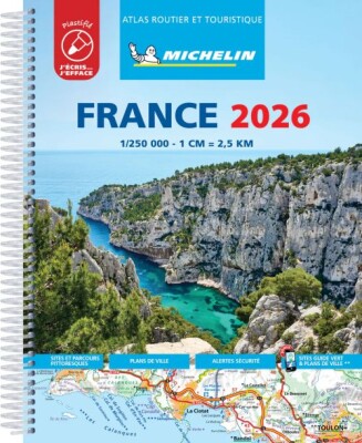
Explore France effortlessly with Michelin's sturdy and easy-to-use tourist and motoring atlas, packed with clear maps and handy features to improve your travel experience. This atlas is your reliable companion for smooth journeys across the country.
A detailed and practical atlas designed to help you navigate France with confidence and ease.
Michelin’s France tourist and motoring atlas is built tough with a fold-out multiflex binding that makes it both durable and simple to handle. The maps are detailed at a scale of 1:200,000, offering a close-up view of your travel routes. Alongside the maps, you’ll find a route planner and time-distance charts that make trip planning straightforward and efficient.
Safety is a key focus, with Michelin’s new alerts marking dangerous driving spots and areas with stricter speed limits. The atlas also includes 40 city plans, each connected via QR codes for easy smartphone navigation within urban areas. Additionally, it provides useful details on tourist attractions, leisure spots, scenic routes, and motorway service areas to enhance your travel comfort and enjoyment.
Highlights of the Michelin France multiflex tourist and motoring atlas include:
Yderligere information
| Oprindelig titel | Michelin Kort - France 2026, Tourist & Motoring Atlas |
|---|---|
| Serie | Michelin Kort |
| Kategori | Bøger |
| Genre(r) | Rejsebøger Frankrig |
| Forlag | Michelin |
| Udgivelsesdato | Er udgivet |
| Sprog | Engelsk |
| ISBN-13 | 9782067269477 |
| ISBN-10 | 206726947X |
| Indbinding | Hæftet |
| Sidetal | 504 |
| Genveje | Michelin Kort - Bøger |
| Tags | Michelin Kort, Bøger, Bog |
| GPSR | Produktsikkerhed |