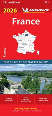
Beskrivelse
Discover the northern region of France with the MICHELIN Cantal, Lozere local map at a 1/150,000 scale. This map is packed with detailed features to help you explore the area thoroughly.
Your go-to map for exploring Cantal and Lozere with ease and precision.
This MICHELIN local map offers stunning 3D relief visuals that bring the landscape to life, making navigation both practical and engaging. It highlights star-rated tourist routes and attractions, carefully selected by MICHELIN to showcase the best sights in the region.
Designed especially for cyclists and outdoor lovers, the map includes over 20 leisure symbols to guide you through cycling paths and nature trails, ensuring you find the perfect spots for adventure and relaxation.
Key features include:
Yderligere information
| Serie | Michelin Green GuidesMichelin Kort |
|---|---|
| Kategori | Bøger |
| Genre(r) | Rejsebøger Frankrig |
| Forlag | Michelin |
| Udgivelsesdato | Er udgivet |
| Sprog | Engelsk |
| ISBN-13 | 9782067202320 |
| ISBN-10 | 2067202324 |
| Indbinding | Falset |
| Udgave | 17 |
| Genveje | Michelin Green Guides - BøgerMichelin Kort - Bøger |
| Tags | France Blad 330: Cantal, Lozere, Bøger, Bog |
| GPSR | Produktsikkerhed |