Beskrivelse
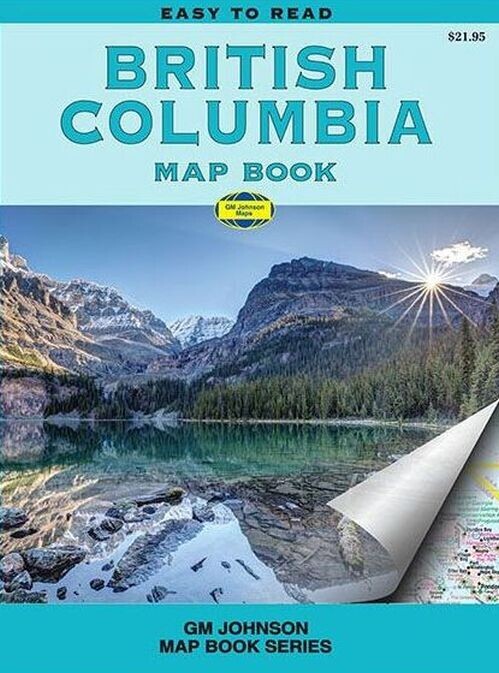
A handy atlas offering detailed maps of British Columbia at scales of 1:500,000 and 1:1,000,000. It includes regional and city maps with highlights of outdoor activities and ski resorts.
Your go-to compact atlas for exploring British Columbia’s key regions and outdoor spots.
This compact 14 x 22 cm atlas covers regional maps from Qualicum Beach to Nanaimo, Vancouver and its surroundings, the Lower Fraser Valley, Victoria and nearby areas, as well as the Okanagan Valley. It also features detailed city maps of Downtown Victoria, Central Victoria, Nanaimo, Downtown Vancouver, Central Vancouver, Whistler, Kamloops, Kelowna, Penticton, and Prince George.
The atlas highlights camping sites and areas perfect for hiking and rafting adventures. Ski resorts are also marked, making this atlas an essential companion for nature lovers and outdoor enthusiasts.
Yderligere information
| Serie | Vandrebøger |
|---|---|
| Kategori | Bøger |
| Genre(r) | Rejsebøger Canada |
| Forlag | Gm Johnson Maps |
| Udgivelsesdato | Er udgivet |
| Sprog | Engelsk |
| ISBN-13 | 9781774492895 |
| ISBN-10 | 177449289X |
| Indbinding | Hæftet |
| Udgave | 1 |
| Sidetal | 130 |
| Genveje | Vandrebøger - Bøger |
| Tags | British Columbia Map Book, Bøger, Bog |
| GPSR | Produktsikkerhed |