
Beskrivelse
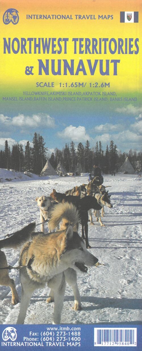
Explore the vast expanse of the Northwest Territories and Nunavut, stretching from the 60th parallel all the way to the Arctic Ocean. This remote region is mostly accessible only by air, with limited road connections.
A detailed map showcasing the unique geography and access routes of Canada's northern territories.
The Northwest Territories span a huge area, reaching from the 60th parallel up to the Arctic Ocean, but most of it remains hard to access except by plane. Recently, a new gravel road was extended from Inuvik to a small Arctic Ocean town called Tuk, which can only be reached by traveling through the Yukon and along the Dempster Highway.
For those heading to the main part of the Northwest Territories by road, the usual route starts in Alberta, following a paved highway directly to Yellowknife. This map also includes a detailed inset of the city of Yellowknife.
On the reverse side, you’ll find a map of Nunavut, Canada’s newest political territory, marking its 25th anniversary this year.
Yderligere information
| Serie | International Travel Maps |
|---|---|
| Kategori | Bøger |
| Genre(r) | Rejsebøger Canada |
| Forlag | Itmb Publishing |
| Udgivelsesdato | Er udgivet |
| Sprog | Engelsk |
| ISBN-13 | 9781771295840 |
| ISBN-10 | 1771295848 |
| Indbinding | Falset |
| Genveje | International Travel Maps - Bøger |
| Tags | Northwest Territories And Nunavut, Bøger, Bog |
| GPSR | Produktsikkerhed |


