
Beskrivelse
Ghana was the first African colony to gain independence in 1957, and it stands out as a well-managed and thriving democracy. Accra, one of the oldest cities in sub-Saharan Africa, and Ghana’s historic coastline are rich with remnants from European trading forts.
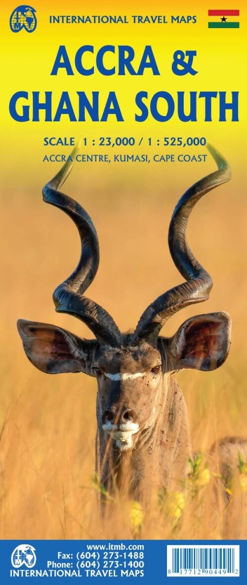
A detailed map capturing the vibrant city of Accra and the broader Ghanaian coastline.
Although Ghana may not be the continent’s largest or wealthiest country, it is recognized for its stability and prosperity, which means it rarely makes headlines for negative reasons. Accra itself holds a special place as one of sub-Saharan Africa’s oldest cities, surrounded by coastal forts established by the Portuguese, Dutch, and British during the era of exploration and expansion.
This map was created to fill the gap, as no detailed map of Accra existed before. It also features a regional view showing Ghana’s coastline and stretches inland up to Kumasi, all presented at a scale of 1:525,000.
Yderligere information
| Serie | International Travel Maps |
|---|---|
| Kategori | Bøger |
| Genre(r) | Rejsebøger Ghana |
| Forlag | Itmb Publishing |
| Udgivelsesdato | Er udgivet |
| Sprog | Engelsk |
| ISBN-13 | 9781771290449 |
| ISBN-10 | 1771290447 |
| Indbinding | Falset |
| Udgave | 2 |
| Sidetal | 2 |
| Genveje | International Travel Maps - Bøger |
| Tags | Accra & Ghana South, Bøger, Bog |
| GPSR | Produktsikkerhed |


