
Beskrivelse
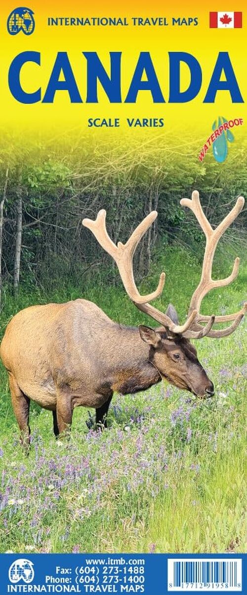
Canada's immense size makes it impossible to represent like typical countries on a single map. This edition offers a detailed political map on one side, highlighting provinces and territories in different colors, along with the road and rail networks.
A comprehensive dual-sided map showcasing Canada's vastness and key regions for travelers.
On one side, you'll find an accurate political map created by the Canada Map Office, featuring provinces and territories distinguished by color. The map also displays the country's road and rail systems, and is presented in both English and French. To grasp Canada's sheer scale, consider that Nunavut is four times larger than Europe, and at least three provinces each surpass the entire continent of Europe in size. Imagine spending nearly a week traveling by train from Toronto to Vancouver-this map helps bring that vastness to life.
The reverse side takes a different approach, offering 10 detailed inset maps of significant areas. These include expanded coverage of the Rocky Mountains and Yukon, as well as focused maps of Newfoundland, the Toronto region, southern Saskatchewan and Manitoba, plus the corridor from Ottawa through Montreal to Quebec City. This way, the map balances a full-country overview with in-depth looks at the most important destinations for tourists.
Printed on durable paper, this map uses various scales to deliver both broad and detailed perspectives of Canada’s geography.
Yderligere information
| Serie | International Travel Maps |
|---|---|
| Kategori | Bøger |
| Genre(r) | Rejsebøger Canada |
| Forlag | Itmb Publishing |
| Udgivelsesdato | Er udgivet |
| Sprog | Engelsk |
| ISBN-13 | 9781771291958 |
| ISBN-10 | 1771291958 |
| Indbinding | Falset |
| Udgave | 4 |
| Sidetal | 2 |
| Genveje | International Travel Maps - Bøger |
| Tags | Canada, Bøger, Bog |
| GPSR | Produktsikkerhed |


