Beskrivelse
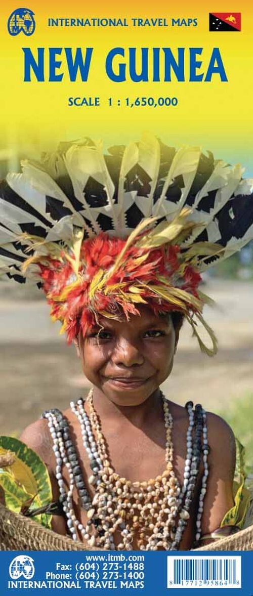
New Guinea, a South Pacific island, is split between two regions: the Republic of Papua New Guinea to the east and the Indonesian province of West Irian to the west. This guide highlights both sides along with nearby islands, showing travel routes and options.
A detailed look at New Guinea’s divided geography and travel routes.
The eastern half of New Guinea, known as the Republic of Papua New Guinea, is somewhat more developed and includes nearby islands like the Bismarck Archipelago and Bougainville Island from the Solomon Islands. While some roads are marked, most travelers prefer flying between destinations due to limited road networks.
On the western side, West Irian is best explored by inter-island boats since roads are scarce. This section also covers several Indonesian islands, with Seram (Ceram) and Ambon being among the most notable. Additionally, most of East Timor is featured on this side of the map.
New Guinea remains a truly off-the-beaten-path destination, yet it continues to attract a steady stream of adventurous travelers.
Yderligere information
| Serie | International Travel Maps |
|---|---|
| Kategori | Bøger |
| Genre(r) | Rejsebøger Guinea |
| Forlag | Itmb Publishing |
| Udgivelsesdato | Er udgivet |
| Sprog | Engelsk |
| ISBN-13 | 9781771295864 |
| ISBN-10 | 1771295864 |
| Indbinding | Falset |
| Udgave | 4 |
| Genveje | International Travel Maps - Bøger |
| Tags | New Guinea, Bøger, Bog |
| GPSR | Produktsikkerhed |