Beskrivelse
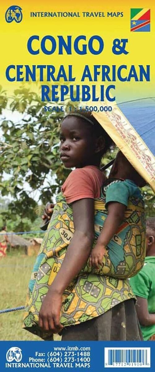
Explore the distinct landscapes and histories of two neighboring African nations divided by the Congo River. This double-sided map highlights both the Congo Republic and the Central African Republic.
A detailed look at the geography and key features of the Congo Republic and the Central African Republic.
The Congo River acts as the natural boundary between the former Belgian Congo and the French Congo colony, now two very different countries. After gaining independence, French Congo became the People’s Republic of Congo, later shortened to the Congo Republic. The other side, once known as Zaire, is now the Democratic Republic of Congo, often called DEM Congo. This map sheet features both countries, which share a relatively peaceful border.
Side one focuses on the Congo Republic, with Brazzaville as its capital, established in 1883 and once the capital of French Equatorial Africa. The country stretches from the Atlantic Ocean, where the port city Pointe-Noire is located, inland to the border with the Central African Republic (CAR). Although a railway connects Pointe-Noire to Brazzaville, much transportation relies on the vast Congo River due to limited infrastructure.
The second side presents the Central African Republic, with Bangui as its capital. The map’s legend includes:
Yderligere information
| Serie | International Travel Maps |
|---|---|
| Kategori | Bøger |
| Genre(r) | Rejsebøger Centralafrikanske Republik |
| Forlag | Itmb Publishing |
| Udgivelsesdato | Er udgivet |
| Sprog | Engelsk |
| ISBN-13 | 9781771291910 |
| ISBN-10 | 1771291915 |
| Indbinding | Falset |
| Udgave | 2 |
| Genveje | International Travel Maps - Bøger |
| Tags | Congo & Central African Republic, Bøger, Bog |
| GPSR | Produktsikkerhed |