
Beskrivelse
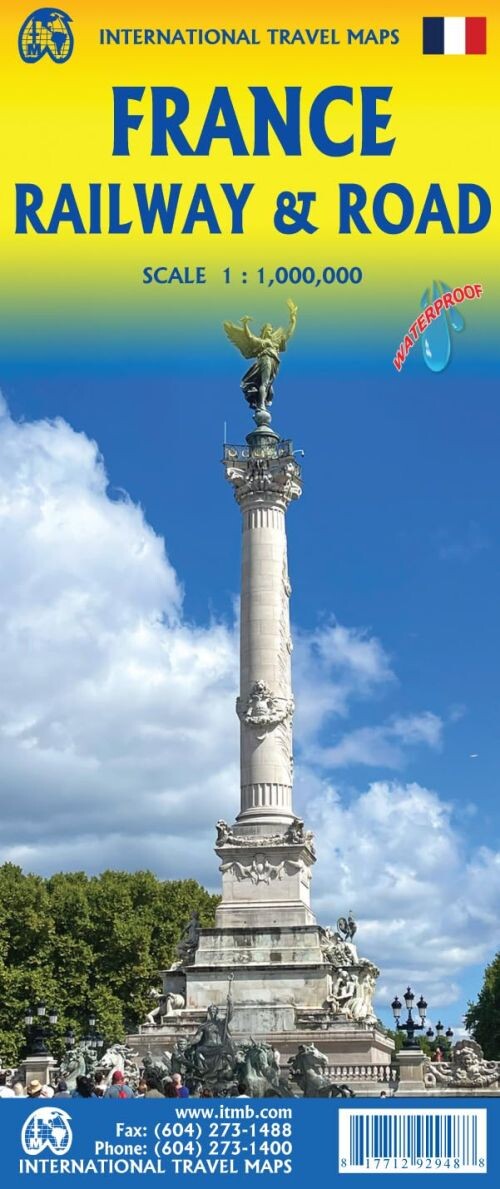
Discover France with a detailed map designed especially for train and road travelers. This edition highlights the country's extensive rail network alongside its roadways, catering to the growing number of tourists exploring France by train.
A comprehensive travel map showcasing both France’s rail and road networks in detail.
This map is part of ITMB’s evolving series of European country maps, focusing on train travel as tourism in France expands rapidly, especially with increasing visitors from Asia and North America. Unlike many map publishers who have removed rail lines to focus solely on car travelers, this map features both the road network and the rail system in excellent detail.
France remains one of Europe’s top travel destinations, offering something for every interest. Whether you’re drawn to the stunning chateaux of the Loire Valley, the magnificent cathedrals in Chartres or Reims, or the impressive ancient fortresses, this map helps you navigate it all.
Designed for travelers on the move, the map is printed on durable plastic paper that won’t tear or crack and can even serve as a makeshift umbrella in a sudden rain shower. It also includes a handy list of the top ten attractions in France, a challenging task given the country’s wealth of sights.
Beyond the major highlights, the map points out dozens of notable attractions, UNESCO World Heritage sites, and scenic back roads for those looking to avoid highways and explore the countryside at a slower pace.
Yderligere information
| Serie | International Travel Maps |
|---|---|
| Kategori | Bøger |
| Genre(r) | Rejsebøger Frankrig |
| Forlag | Itmb Publishing |
| Udgivelsesdato | Er udgivet |
| Sprog | Engelsk |
| ISBN-13 | 9781771292948 |
| ISBN-10 | 1771292946 |
| Indbinding | Falset |
| Udgave | 4 |
| Sidetal | 2 |
| Genveje | International Travel Maps - Bøger |
| Tags | France Railway & Road, Bøger, Bog |
| GPSR | Produktsikkerhed |