
Beskrivelse
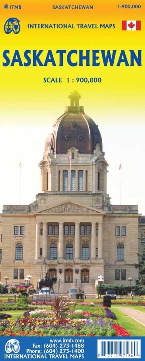
Saskatchewan sits right in the heart of Canada, bordered by Alberta, Manitoba, and the USA, with a unique mix of agricultural lands and vast wilderness. This province offers a blend of vibrant cities and thousands of lakes and rivers in the north.
A province defined by its central location, rich history, and diverse landscapes ranging from farmland to wilderness.
Located centrally in Canada, Saskatchewan shares borders with Alberta to the west, Manitoba to the east, and the United States to the south. While it also borders the Northwest Territories, there are no roads connecting the two, making that boundary less significant.
The southern part of Saskatchewan is primarily agricultural, featuring the capital city, Regina. This area is detailed on Side 1 of the map, including insets for both Regina and Saskatoon. In contrast, the northern region, shown on Side 2, is dominated by thousands of lakes and rivers, offering a vast wilderness experience.
The north is sparsely populated, with Flin Flon as the largest urban center. This region is home to several large wilderness parks and hundreds of campsites, making it a haven for outdoor enthusiasts.
Historically, Saskatchewan holds significance due to the 1885 Metis Rebellion, which stands as Canada’s closest encounter with a military uprising. The province was officially formed in 1905, carved out from the expansive Northwest Territories alongside Alberta and modern Manitoba, spurred by the influx of millions of immigrants settling the prairies.
Its name comes from the Saskatchewan River that flows through the province. The map scale is 1:900,000.
Yderligere information
| Serie | International Travel Maps |
|---|---|
| Kategori | Bøger |
| Genre(r) | Rejsebøger Canada |
| Forlag | Itmb Publishing |
| Udgivelsesdato | Er udgivet |
| Sprog | Engelsk |
| ISBN-13 | 9781771297486 |
| ISBN-10 | 1771297484 |
| Indbinding | Falset |
| Genveje | International Travel Maps - Bøger |
| Tags | Saskatchewan, Bøger, Bog |
| GPSR | Produktsikkerhed |